dem_proc() generates DEM derivatives from an input elevation raster. This
function is a wrapper for the gdaldem command-line utility.
See https://gdal.org/en/stable/programs/gdaldem.html for details.
Usage
dem_proc(
  mode,
  srcfile,
  dstfile,
  mode_options = DEFAULT_DEM_PROC[[mode]],
  color_file = NULL,
  quiet = FALSE
)
Arguments
- mode
Character. Name of the DEM processing mode. One of hillshade, slope, aspect, color-relief, TRI, TPI or roughness.
- srcfile
Filename of the source elevation raster.
- dstfile
Filename of the output raster.
- mode_options
An optional character vector of command-line options (see DEFAULT_DEM_PROC for default values).
- color_file
Filename of a text file containing lines formatted as: "elevation_value red green blue". Only used when
mode = "color-relief".- quiet
Logical scalar. If
TRUE, a progress bar will not be displayed. Defaults toFALSE.
Note
Band 1 of the source elevation raster is read by default, but this can be
changed by including a -b command-line argument in mode_options.
See the documentation for
gdaldem for a description of all available options for each processing
mode.
Examples
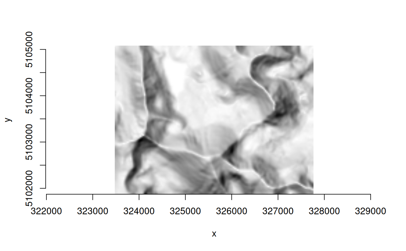
## hillshade
elev_file <- system.file("extdata/storml_elev.tif", package="gdalraster")
out_file <- file.path(tempdir(), "storml_hillshade.tif")
dem_proc("hillshade", elev_file, out_file)
#> 0...10...20...30...40...50...60...70...80...90...100 - done.

ds <- new(GDALRaster, out_file)
plot_raster(ds)


ds$close()